Monday, January 7, 2019

Joshua Tree for the Holiday

The Shark Fin


Despite the government shut down, we headed to Joshua Tree NP. The weather around Flagstaff was in a high pressure holding pattern, and little forecast for snow.  The holidays around here are pretty busy with Phoenicians, regardless.  I thought it might be a good time to get out of town and into the desert. I got a hankering to visit Joshua Tree National Park for a couple of reasons. First it would be warmer than the mountain, and second it is supposed to be a great place to photograph.  And I had never been there. Joshua Tree is most commonly known for it's rock climbing and dark night skies.  Research started on the NPS website, where I downloaded the park map, as well as any other map I could get my hands on.  I wasn't sure that any maps would be available inside the park. And there was to be no cell phone coverage.   Camping was a concern, but I discovered that there would be free dispersed camping at some BLM land both north of the park, and even more at the south end.   I also bought a National Geographic Topo map, which ended up being really helpful. 


Parker Camp


We started out about noon on the winter solstice, the 21st.  The plan was to hit I-40 and drive down 95 then over on 62.  It was a great plan and very little traffic.  We made great time to Kingman, and found 95. What we didn't know was that there were two 95s.  Arizona 95, and US 95. We took the first one, and ended up having to drive through Lake Havasu City.  We lost some time there, due to the amount of stoplights.  We did get to see the London Bridge, but by the time we got to Parker it was definitely getting dark, and happy hour was upon us.  Fortunately once we left the indian reservation there was some empty BLM land. 

We took some random dirt road and found a level spot  isolated enough for our tastes. We started a campfire with hors d'oeuvres and dinner, then the s'mores came out.   Bad news. I only brought 8 marshmallows.  Kristi was appalled.  8 marshmallows for four nights?   Sounded reasonable to me.  A debate ensued.  How many marshmallows does it take for a four night trip?  8, 20, or 40?  I was informed that the correct answer was 40.  After popping a half dozen in the mouth, and losing a handful in the fire we would be out in no time. Good thing there was a Circle K.

There's a Sign Post up Ahead
 The next morning we spent driving.  Highway 62 was really interesting.  A colony of artists must live around there.  There were quite a few junk displays that people have added to.  An eclectic signpost, a shoe art structure, and endless graffiti from found stones, ties and sticks. 

We arrived at the park, and stopped at the visitor center.  Yep closed.    We continued up the road, wondering what would be on tap for the day.  We decided to make the upper loop at least that day, to get a lay of the land as they say. We came upon a picnic area, and stopped to use the restroom.  It was open but it had a nice long line. Proceeding to the next attraction, Skull Rock.  Again a nice long line of people taking selfies and family photos with the 'skull.' Not to be discouraged we set off on the loop trail that went to other features, then back through the campground.  We took the Split Rock Loop trail and soon the people thinned out.  We scoped out the Jumbo Rocks Campground, but it appeared full, and it was reservation only. We came to find out there was nobody managing the reservation system, later.

Geology Tour Road

We thought the Geology Tour road looked interesting.  We got to the kiosk and read the sign. It was a fourteen mile dirt road that turned into a 4wd road and ended in a loop.  There was an interpretative tour pamphlet, but they were all gone, and not restocked.  We had lunch at a dry man made tank, then put it 4wd for the remainder of the sandy washboard road. We saw a lot of rocks, but didn't get to learn much about them.  

Itching to go for a hike we got out the topo map and I picked out a loop trail to Quail Springs.  We parked at the picnic area, and set out to find the trail head.  Except we couldn't.  There were social trails leading back and forth, and no signage. We eventually began to follow a group of people headed toward the hills.   They stopped at some rocks, to play around.  We shrugged and decided to climb up a drainage to what looked like a saddle. Boulder scrambling and route finding we climbed to the top.  As we neared, we found a large cairn. After consulting the map we figured we had just climbed up Lang Canyon, which continued down the other side of the drainage into the wash, then connected to Quail Springs Trail.   We unknowingly were on the trail we couldn't find.  We passed by a big yellow cottonwood tree still changing for the season, and saw an old relic of a miner's camp.  

Old Pickup I

Back at the van, we made a beeline for the BLM land north of the park in the dry lake bed below Copper Mountain.  The sun went down, and the full moon came up.  We made a fire, and tacos, then hit the sack.   The camping area was pretty dispersed, and felt private enough.  We could hear some music, and shooting at the base of the hills, but otherwise quiet enough to relax. There were no restrooms, which made going interesting once it got light the next morning. 

Joshua Tree Dawn

We got up early and made coffee and breakfast at the Boy Scout trail head.  We hiked the sandy trail to an oasis, about a 7 mile out and back.  The oasis was dry, but the hiking easy, compared to rock scrambling the previous day.  After the hike we thought it would be worth a shot looking for a campsite.  It was about 11:45 and in our experience about the time people pulled up stakes and left the campground.  First we tried the Hidden Valley campground. It was a zoo.  Campers, and campervans everywhere. Even the parking lot was full with campers.   Down the road we pulled into Ryan campground. We drove the loop, and it looked full.  Kristi spotted a guy that was in the drivers seat and the was van running with the lights on. We paused at the kiosk for a moment, and sure enough he pulled away.  Cool.  We staked our claim with our outdoor carpet and chairs. 
Ryan Campground
Barker Dam
Elated we didn't have to spend the night in a lake bed, we went and hiked the Barker Dam trail.  That was pretty cool, although crowded again. The trail winds its way through a huge boulder field, then loops around to a dam, this time with water.  Here we found people relaxing, and people taking photos, and people flying a drone. Meh. Continuing we discovered some petroglyphs adjacent to a natural rock window.  We watched some rock climbers for a bit then made our way back to the van.  It was about time for a beer, and the sun was hanging low in the sky.  We saw some hi-liners tight rope walking between two peaks at the Hemmingway picnic area.   Beers in hand we entertained ourselves looking through binoculars.
 
Shark Fin Milky Way

The campground was pretty chill. We had the very end spot, so had a nice view of the hills and sunset. A campfire, and dinner paired well with our beer and happy hour extended until past twilight.  This evening was what I was waiting for. I got my full frame camera out and headed to a large rock out cropping, and made some night star images.  I wrapped up and returned back to the van.  It was only 8:30.  One of the longest nights of the year.  I didn't have to loose any sleep. Cool. Soon the wind picked up, and I was cozy in the van reading until sleepy. 

Joshua Tree Milky Way

It rained that night and we awoke to wet camp chairs.  There were puffy clouds, and nice a warm light was glowing.  We took a short trail to some ruins just as the sun was rising, I made some images and returned to a hot pot of coffee. 

The only place that looked appropriate to bike and run our dog was the Queen Valley road.  This road makes a loop of about 5 miles. We parked at the Barker Dam parking lot and leisurely rode the loop. We were pleased we only saw a couple of cars. Afterword we changed again and took the hike to Wall Street Mill.  This place was really cool.  Some really old relics were left. Vehicles and equipment were scattered around an old gold mill. Lots of photographic opportunities.  

Old Truck II
Climbers on Shark Fin
Having decided that we might take our chances at finding a campsite elsewhere, we pulled up stakes and headed down the long road toward the south end of the park. The plan was to try to get a site at the campground near Arch Rock called White Tank.  We pulled in about noon to find cars and people everywhere. It was hard to tell what was going on, because cars were every which way, and people were roaming around in droves. I couldn't tell where the campground was from all the cars. I found myself kind of dead locked, with cars now pulling in behind me.  Kristi was able to spot a gap where the road continued. I squeezed the van through and discovered the rest of the campground.  And as luck were to have it, two empty campsites.  We chose the more level of the two, and parked it. The icing on the cake, a fire ring filled with free firewood!  We had lunch and mozied to the arch, and watched the cellphone selfies for a while.  The wind had picked up and we started the fire a little early, seeing we had a ton of it.  The sun began it's decent, and we had happy hour at our spot with what we called our white granite porch. Dinner, campfire, and s'mores ensued. 

 
Kristi retired, and I got out my camera again.  I headed over to the arch for some light painting, and milky way photography.  I had set up a fill light behind the arch, and was reflecting a lamp off the back wall to light paint the arch, when another photographer showed up.  I was there for about another half hour, and bid the other chap good evening, happy with my results. The fire was barely going when I returned, so I threw on another log and stood by until there were just coals. What a pleasant Christmas. 

White Granite Arch Milky Way


Cholla Forest

Cottonwood Oasis

On the way out the south entrance we stopped at the remainder of the attractions. A cholla forest and a palm tree and cottonwood oasis. Our last hike for the trip found us on top of Mastodon Peak. After lunch we set the cruise control and made it home just in time... For happy hour.  

Merry Christmas from JTNP!


Thursday, October 4, 2018

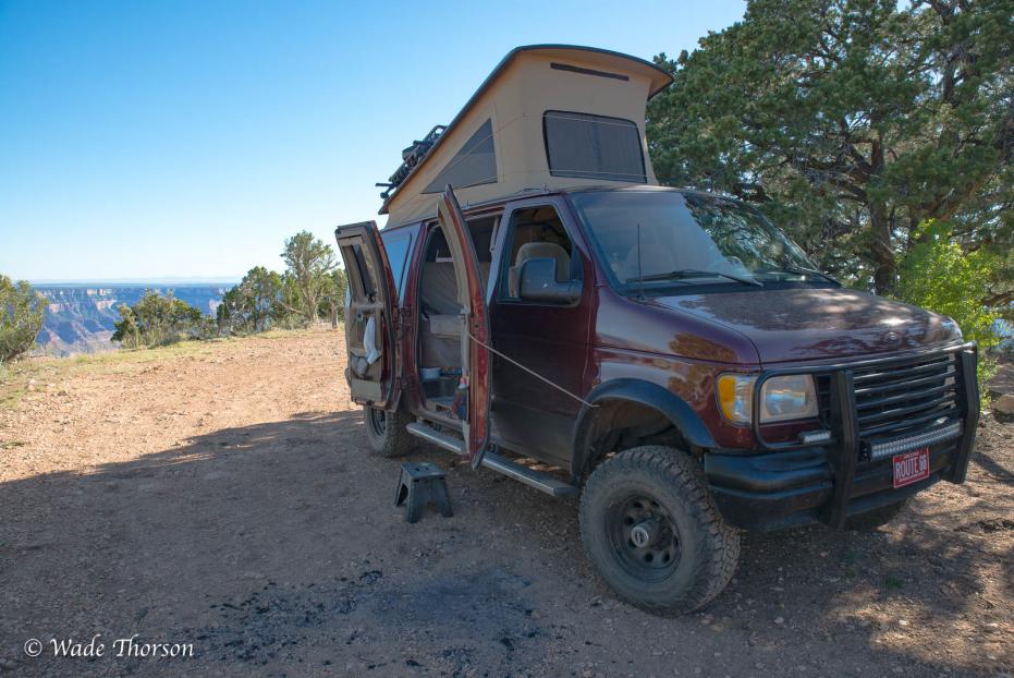
A Night at Point Sublime


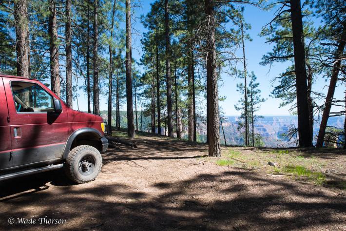
Point Sublime is down a 16 mile dirt road inside the North Rim of the Grand Canyon. I went there in the middle of May not knowing if the road had been opened and cleared of fallen trees. I pulled in the park and got to the Ranger Station at nine o'clock to inquire. I asked the ranger if the road had been opened, and he said it had. That morning, and he hadn't time to publicize it yet. I waited for him to help the couple in front of me, and got one of only two permits to camp there overnight. He gave me the run down. And a choice of how I wanted to get there. One way was to leave the park, and take some forest service roads, past Fire Point and onward. That was in excess of 30 miles but an easier stretch. The other road left from close to the ranger station, but was much more adventurous. That was his way of saying f'd up, as I was about to find out. The road was pretty nice for first couple of miles, and I thought it would be a piece of cake. It soon narrowed down to a double track, and the trees began to close in. The trail wove it's way down through drainages and back out to the top of the mesas. Squeezing between rocks, branches, downed trees over rock steps and piles, exposed roots and gulley wash-outs. With lunch and a stop at the overlook the trip took four hours. For only sixteen miles. The math indicates about four miles an hour.
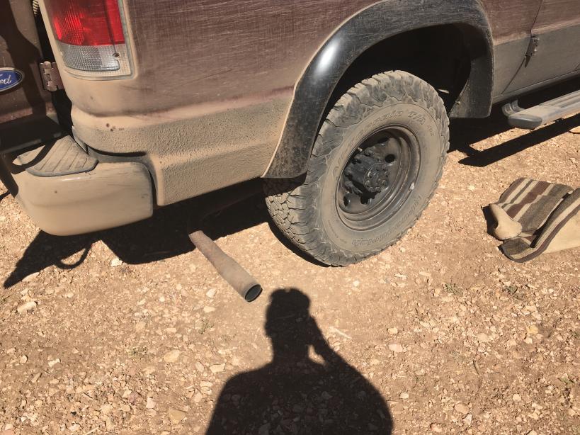
The last stretch was the most adventurous, ahem, rough. I started to hear some interesting noises of rocks hitting the tail pipe. As I approached the end of the road it definitely turned into a dragging pinging not good sound.
The tail pipe had separated from the muffler, fallen off it's hangars and was dragging the last half mile. Well crap. My M.O. for situations like these seem to always begin with a beer. Besides I had to wait for it to cool down before I could do anything about it. And beer has the way of putting things in perspective. Like, at least, I have it... perspective. And I was there. Phew. Next up...Bailing wire. Lots of it. Always bring bailing wire. A lesson I learned from my days campervanning in a 76 Westy. I put the tailpipe on what was left of some of the hangars and bailing wired the rest.

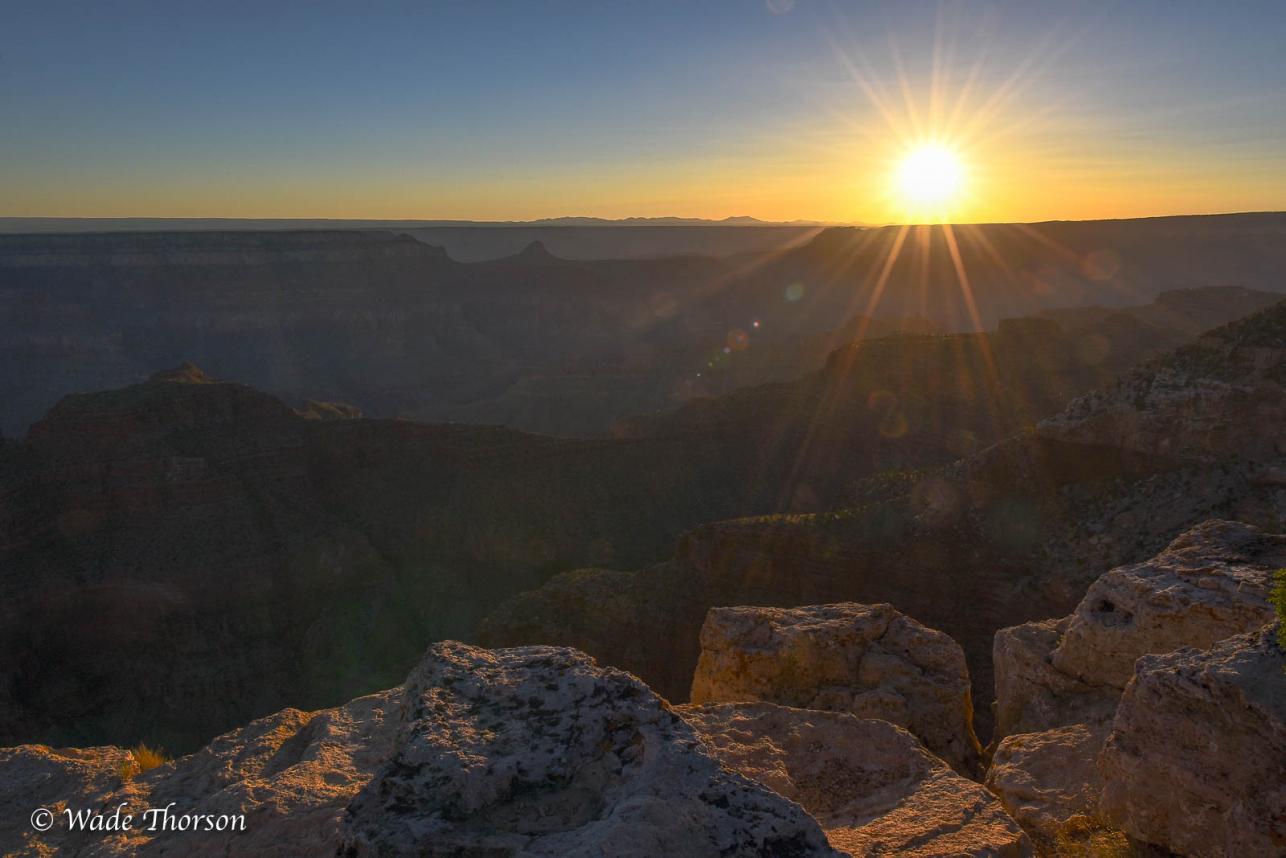
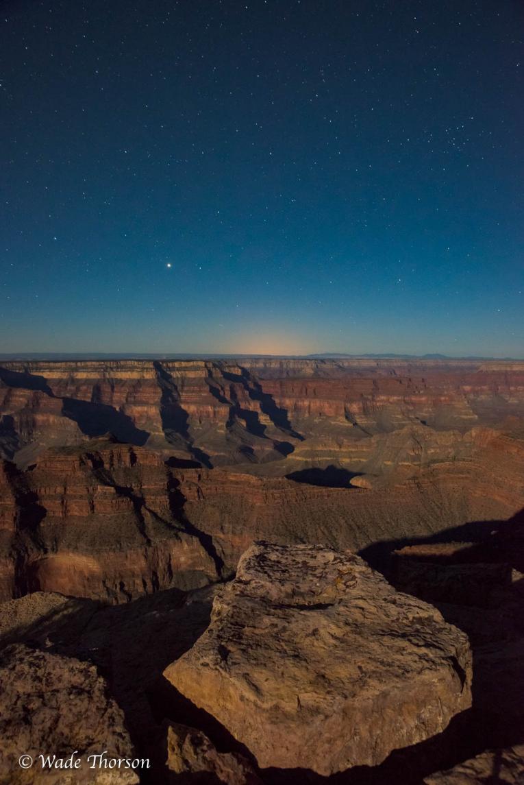
I spent the rest of the evening making images, and into the night and next morning. There was a very bright moon that night, which extended my viewing pleasure.


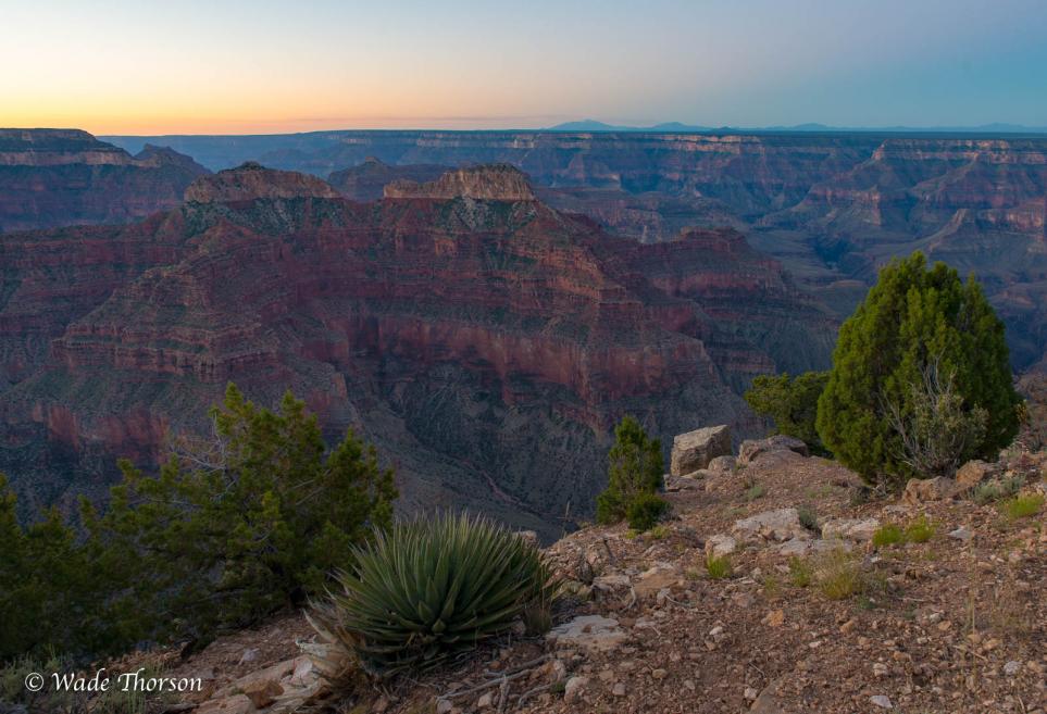
Dawn of a new day.

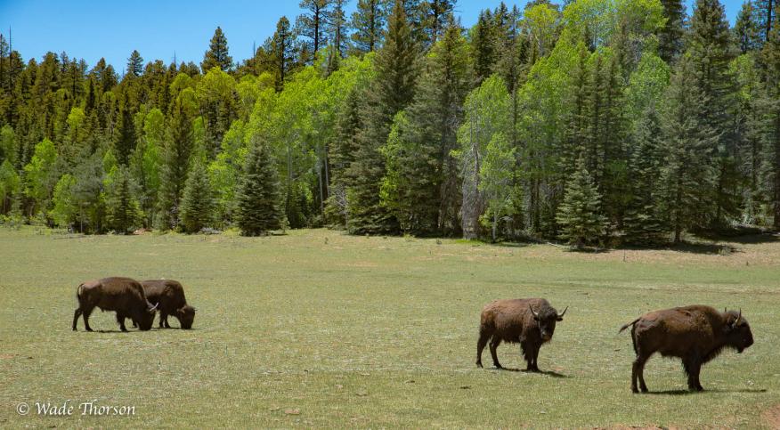
The next morning I drove out the long way. It was still rough up until Fire Point, then smoothed out a little. I was going to go to the Rainbow Rim but was kind of longing for pavement. I camped that night off of FR22 in the aspens. I inspected the vehicle for more damage. One of the strings in the shades broke, the pop top latch fell apart, I had a crack in one of the shock mounts, and by the time I got home a new oil leak. And as I found out later at the muffler shop a crack in the manifold. Boy adventure sure has it's price. Or is that priceless.....

Wednesday, February 1, 2017

Grand Canyon Ski Trip


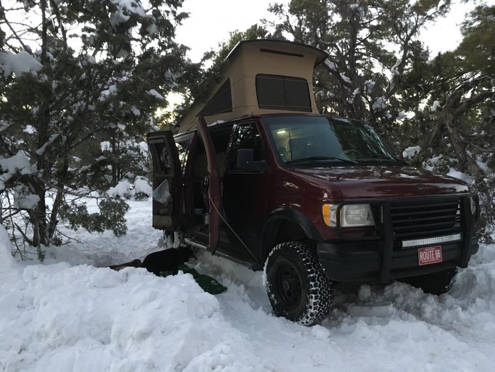
You might be thinking Whaaat? But Northern Arizona got dumped on last week. We got about 4 feet of snow in four days, and keep in mind much of the area is around 7000 feet. Besides days spent at Arizona Snowbowl skiing the powder, and back-country skiing around the San Francisco Peaks, we spent days digging out. Last weekend we got the van dug out and headed toward the canyon for some cross-country skiing fun.


https://www.sportsmobileforum.com/forums/members/7403-albums877-picture34040.jpg


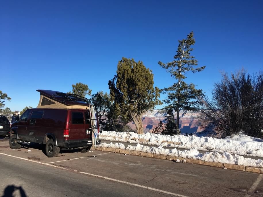
We usually stick to the East rim, as much of it is quite a bit higher than the rest of the park, and gets more snow. We parked between Yaki and Grand View points and skied along the rim Saturday evening and Sunday morning.
The Park Service really does a great job maintaining the roads, it just takes a couple of extra days to plow this far end of the park.  They keep the roads to Hermits Rest and Desert View closed until they do.


https://www.sportsmobileforum.com/forums/members/7403-albums877-picture34038.jpg
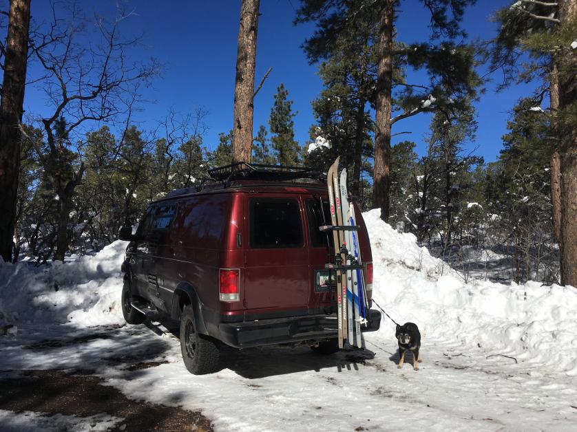
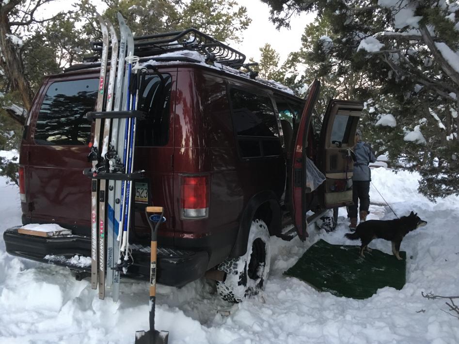
The cool thing about the Grand Canyon is they keep a portion of the campground open all year round.  Which really means they plow two loops and keep a couple of heated bathrooms open.  We self checked in Saturday night and found that they had a snow shovel available to borrow.  Soon after we discovered why.  The road was plowed, but none of the sites were.  We returned to the office and retrieved the shovel then picked a site.   With the snow shovel, and my own spade we cut down the plow line and moved just enough snow to back the van into a site.

https://www.sportsmobileforum.com/forums/members/7403-albums877-picture34037.jpg

  We didn't figure that we needed to get too crazy since we had four wheele drive.  Besides it was cutting into our adult beverage time...  We threw down our little astro turf throw rug outside for the dog to lay on, fired up the furnace, and settled down for a cool winter's evening.  We have camped in the freezing cold before, but not like this... Our Propex 2000 kept us at 60 all night long.  We brought the dog inside to sleep, although he would have been just as happy outside. With his thick coat, he loves winter.   Anyway, thanks for reading.

https://www.sportsmobileforum.com/forums/members/7403-albums877-picture34039.jpg

Sunday, December 11, 2016

Grand Canyon Rim to Rim

This October I had the pleasure of shooting a Grand Canyon Rim to Rim hike with All-Star Grand Canyon Tours.  This modified trip found us hiking down the North Kaibab Trail to Cottonwood Campground, a side hike to Ribbon Falls, then onward to Phantom Ranch.  We resupplied at Indian Garden, then camped at Horn Creek, along the Tonto Trail.  Our last night was spent at Monument campground, a little side trip to the river, then up and out on The Hermit Trail.  Our guide Jon Miller humped the lion's share of the food, and provided cooking skill, along with an intimate knowledge of the geology.  English guests, Jaime Orr, Andy James, and Matt Sharp really enjoyed themselves.  We even had Photography Workshop time dedicated to time-lapse and night photography with light painting on the Monument.  Forty miles, and five days in the canyon was sublime.


Here's the video. Check it out!

Thursday, November 10, 2016

Escalante Loop Trip- Valley of the Gods

The road that lied ahead brought us to another crazy road called the Moqui Dugway.  Apparently it is listed as one of the world's most dangerous roads.  It closely resembled the switchbacks of the Burr Trail.  I might have been more terrified if I were in a huge motor home due to the hair pin corners. Otherwise the switchbacks of the Burr Trail were more sketchy.  Cool stuff, though.

Moqui Dugway


   Immediately at the bottom of the Moqui Dugway was the turn off for Valley of the Gods. I drove right past it, as the sign was facing the opposite direction, of course. I would consider Valley of the Gods to be the little brother of Monument Valley.   It is a loop that is only 16 miles long and extends to Mexican Hat.   It is full of neat rock formations, and at the beginning of the dirt road there is an interpretive sign that lists the so called names of the formations, and a small map depicting their locations.  There is free camping there, as it is part of the BLM, but in recent years the available spots fill up early.  We chose a spot near what was called Lady in a Tub, and from the back side it is exactly what it looked like.  The sun was going down and the shadows getting long so it was one of the closest spots available.

Lady in a Tub

 I took the opportunity to capture some sunset images.  After a little dinner and campfire, we settled in this gorgeous area.  Just as dusk had fallen I began to realize the 3/4 moon was beginning to become visible along with Venus.  It was a large orb floating in a beautiful gradient blue sky, perfectly aligned with one of the famous monoliths, the so-called Lady in a Tub.   I snapped images, as Kristi watched the moon slowly lower itself below the horizon.  The light was such that I was able to capture some detail in the moon's shadow.   The moon travels quickly and I had to find a shutter speed that froze the motion, and capture enough light to keep it from being blurry.  We left the next morning during the sunrise, but I captured some more images on the way out. Only having spent one night in the Valley of the Gods, I was blessed with a spectacular display of light for the duration. My only regret was that we didn't spend another night there.  We definitely will be back though.


Valley of the Gods

Valley of the Gods Camp

Escalante Loop Trip - Capitol Reef

Grand Gulch
 
By now we've gotten into a routine of waking, breakfast, then driving to our next hiking destination for a day hike in the morning, then lunch, then afternoon day hike, then driving to our evening boondocking campsite.  This morning we left camp rather early, and chose a hike through Grand Gulch  in Capitol Reef National Park.


Cassidy Arch

  The hike proceeded through a box canyon and ended at Cassidy Arch hike in which we hiked up to the top of the arch spent some time walking across the bridge.  Kristi thought it might be a good place to take some photos for her Pilates business website. So she made some poses, and I took photos.   Turns out the formation was so large that in order to get the gist of the area you had to zoom out so far she was all but lost in the enormity of it all. It was still fun though. We hiked back along the canyon floor to the parking area, let the dogs out to splash in the small creek there, had lunch then proceeded to drive around towards the visitor's center. On the way we passed an old Mormon school house in Fruita.

Hickman Natural Bridge
 
   After a quick look around there, we headed out again on a hike to Hickman Bridge.  It was a nice easy hike with a Fremont Indian granary and ruins of a pit house.   I'm sure we only scratched the surface of what Capitol Reef had to offer, but our time was running out, and we had only one night left before having to return home.

Escalante Loop- Burr Trail & Notom Road

The next morning we headed toward Capitol Reef National Park, by way of the Burr Trail.  This route was recommended by the ranger in Escalante for the scenic views.  The trail was developed by John Burr in the 1880s to move cattle back and forth between winter and summer ranges.  Currently the trail is a dirt road, beginning with a large sign warning travelers not to travel while wet or snowy as it can be nearly impassable. The road travels through rough terrain through the country around Waterpocket Fold, Burr Canyon and Muley Twist Canyon, with bonus views of the Henry Mountains.  Numerous hikes and side trips exist on this interesting back road, and we chose to hike Upper Muley Twist Canyon.  The road to the parking area is only about three miles long, but travels in a wash.  High clearance four wheeled drive is recommended, or one can park at the bottom and hike through the wash.   We passed backpackers who did just that, and a new Ford Explorer that had given up on the road and parked half way up in a safe spot.  You can see in the photo below the van driving in the wash with Peek-a-boo arch towering overhead.

Peek-a-boo Arch in Upper Muley Twist Canyon


 We arrived at the parking area with-out incident. We got out our topo map and found a route through the bottom of the canyon that promised a couple of arches.  We packed a lunch and left the pets in the car, as it appeared that some canyoneering may be necessary to navigate some of the large pools and slot canyon. Temperatures this time of year were in the low 60s so we felt comfortable that they would be fine in the van with the shades closed, and windows open.  The hike was pretty, but with very little shade, exposed.  There were times we had to figure how to get around large pools of water, with out getting our shoes wet.  We had our lunch at a spot across from Saddle Arch on some slickrock that had a good view of the arch. The trail continues up and along the rim, then circles around and back into the canyon to make a nice loop hike.

Saddle Arch

 After returning to the van we grabbed the dogs and did a quick side hike to the Strike Valley rim for views of Waterpocket Fold, where you can see a great rift of a fault line.  The view here is one of the most impressive of the views so far.


Waterpocket Fold
 Hopping back in the van we continued down the Burr Trail to a most dramatic set of switchbacks which takes you right through the fold and onto Notom Road.  Dusty and sandy the road travels through some beautiful country along the valley floor.   There is a campground about half way down this road, with only a handful of sites.  We opted to keep driving to find a boondocking site a short distance away.  We'll call this site Notom arch. As per usual we were surrounded by cows and cow patties, but there were also great views of the Henry Mountians.  I took advantage of the cool formations, and spent the evening making night images, light painting the formation and making startrail images.    For more information on the making of the night image below see my photography blog post here: Notom Window


Notom Window


Monday, November 7, 2016

Escalante Loop Trip- Calf Creek Falls

If you don't know anything about me, the one thing you should know is that I love waterfalls.  I'll hike far and wide to catch a glimpse, take a photo, and/or swim in them. Up next would be the infamous Calf Creek falls.  It so happens there are two falls in this area, Upper Calf Creek Falls and Lower Calf Creek falls. The direction we were driving dictated that we would be visiting Lower Calf Creek falls first.  There is a designated recreation area there managed by the BLM, complete with a campground, restrooms, and water.  It is a great hike to take the family, and dogs, as the trail is well maintained. Grab the brochure at the trail head, and it will guide you through an interpretative hike highlighting the flora, and history of the area.  Round trip, you will hike about five and a half miles, and on warmer days bring your swimsuit and towel, it will be worth the quick dip in the large pool at the bottom of the falls. In early spring,  it wasn't warm enough to go swimming. I hiked in sandals, and waded in a bit to get the image below.
Lower Calf Creek Falls

The area, no doubt was frequented by native Fremont and Anasazi peoples.  Ancient granaries and pictographs dating back about nine hundred years can be found close to the trail.  The photo below was taken from across the creek depicting what is thought to be some ancient gods.   Drawn on to the canyon walls the pictographs blend well with the stains from eons of rainfall creating a most colorful 'desert varnish.'


I'd like to imagine that the images depicted ancient aliens, complete with antennae and wild triangular space suits.  Holding hands.... 

 I thought it might be a good idea to get a campsite at the campground for the evening, but Kristi  disagreed.  She really likes boondocking, and I must say, I couldn't agree more. There is that feeling of peace and quiet that can only be experienced when camping in the wild.  

We still had half a day left after lunch and we decided to try and find Upper Calf Creek Falls.  We had the guide book and took off in search of ...  As I seem to do many times on adventures, I drove right past the small parking lot, and had to flip a U to park there. A dusty lot and a register box are all the amenities here.    The trail starts off down a steep slickrock trail marked sparsely by cairns.  At times the trail was quite easy, other times we seemed to wander a bit.   We finally made our way down to the canyon floor, which was obvious, then had to bushwack our way upstream until we came to the falls.  It was much easier route finding on the way out for some reason.

Upper Calf Creek Falls

The falls was cool, lush and green.  Not much in the way of beach, or hang out places.  We shared the view with another couple for a few minutes, and made an image or two.  The challenge was hiking back up the slickrock.  Although the rubber soles of my shoes had exceptional traction, it was steep, and exposed.   An hour of huffing and puffing, we were back at the parking lot.  It was getting late in the day, and I was getting anxious to find a campsite. Happy hour was calling.  The road was really interesting as we headed toward Hell's Backbone.  On either side of the road there was a sheer drop-off, and we seemed to follow on top of a ridge for miles.  We turned onto the Hell's Backbone road and a few miles later we found a really nice spot overlooking the valley below.  With plenty of juniper for firewood, and a few adult beverages, we were content, and ready to settle in for the evening.


Thursday, November 3, 2016

Escalante Loop Trip - Hole in the Rock Road

We pointed our noses in the direction of the Town of Escalante. Since we lost a few beers and some tomatoes we decided to stop in at a grocery, then check in at the ranger station to get the low down on the road conditions on Hole in the Rock Road. Looks like a little cold front was going to blow in, but no moisture. Stocked up and filled up we began down the fifty mile road. The story of Hole in the Rock Road starts and ends like most stories in Utah, with early Mormon settlers. They were looking for a short cut to the river (now Lake Powell) and blasted a channel in the rock to descend the steep cliffs with their wagons. They did it, but the road never really became a popular route. It pretty amounts to a dead end road today. There were tons of hiking trails, and canyons to visit. We had a little trouble deciding what to do first. Dinosaur tracks, slot canyons, Dance Hall Rock, Sooner rocks all on tap.
We brought some hiking books of the area and shuffled through them to see what to do first. There was Spooky and Peed-a-boo slot canyons directly adjacent to each other. This sounded good, we could kill two birds with one stone. We left the dogs in the car for this hike, since the descent into the canyon was to be really steep on slick rock. At the bottom of the canyon we hiked in a wash and spent time investigating a few of the side canyons. It was a bit confusing as to which slot was which. And once you were in there it was difficult to turn around. If other people arrived you practically hat to crawl over each other or back up to a spot wide enough to squeeze by each other. At one point I had to set my day pack and camera down because it was too narrow to continue with them. Eventually claustrophobia takes over and you have to retreat. Kristi could proceed a bit farther, but I would be wedged in there due to my wide rib cage.
Peek-a-boo Canyon

 I'm not sure canyoneering is my forte. It was fun though. Once we returned to the van we found a dirt road off the main parking area and followed it to see where it might lead...perhaps a camp spot over that hill. And behold a small slick rock out cropping revealed a fire ring. You would think that a remote desert road might be replete with camping spots, but there were quite a few no camping signs at the trail heads and parking areas. Not that I would prefer to camp in those areas... Late afternoon was upon us and some high clouds started to move in. We set up camp, and started a fire with wood we had brought from home. It was rather barren terrain, and gathering wood only left us with a small pile of sticks. Fortunately this area was free range, and there were plenty of cow patties. Believe it or not dried cow patties burn pretty well, and act as a filler for the fire. Definitely the dried ones. You can try it at home. Sitting in camp usually entailed activities such as campfires, watching the dogs roam around smelling the scents, calling for them when they wander too far off, and yelling at them for eating something disgusting. They all love disgusting. I also enjoy listening to music. The barn doors have a speaker in each of them, and with them both open I can have full stereo sound. Some adult beverages and cooking dinner usually end the evening. Then off to la la land. Unless we have somewhere to go, we just laze around in the mornings. Brewing coffee is the first order of business, then business is the second order of business, of course. Breakfast slowly follows and a discussion of the upcoming events for the day after that. By about 9 we are prepared to seek out new adventures. Dance Hall rock was on the schedule. Dance Hall Rock is an interesting formation that makes a natural amphitheater.  The rock got its name from the 19th century Mormon Settlers that used it to hold square dances.  You can sit there and just imagine the sound of fiddles, guitars and banjos echoing throughout the canyon.  Petticoats spinning, and girls giggling at young men courting their hearts out. 

It always amazes me that even against insurmountable odds life finds a way to live. Located atop of Dance Hall Rock the area supports about a half dozen trees like this. The great photographer Guy Tal made this locale famous in his book Intimate Portraits of the Colorado Plateau. Just as the Mormon settlers did, this tree ekes out a living in this high desert environment, persistent against the odds. This area is a great place to explore, much like Mars would be, had there been trees. I took my GPS and wandered all over these rocks, and made a loop back to the van, by creating a waypoint and following the arrows. There were a few sketchy places, and as you can see if you were to fall into one of these holes it would be very difficult to get out, if not impossible had you been alone. We definitely kept the dogs on leash. Our next stop would be to find a camping spot, and according to the guide books, it would be Sooner Rocks, one of the few permissible locations. The clouds were building and blue sky was becoming scarce. The wind was biting, and not much fun. The bottom of Sooner Rocks seemed the best place to camp, but alas the few available camping spots were already taken.
We chose a cool spot with a great view of a large monolith, but with the wind blasting us it wasn't the best conditions to hang out in. We hiked around a bit in the valley to escape the breeze and possibly look for another spot. Eventually we threw in the towel and just retreated to the van for shelter. We settled into our routine, save the campfire. After dinner we decided to watch a movie on the iPad, and before we got even half way through we were both asleep. A Tempurpedic mattress must have been at fault for that. After completing our morning routine we decided we'd check out the dinosaur tracks. The storm front had moved out and the sun was shinning brightly. We followed the directions in the guide book, which led us to a sign with some hand written coordinates. I punched them into my GPS and we made our way up to a rock shelf. Having arrived at our location we looked around, and around. No tracks that we could see. We hiked and hiked, and returned to the coordinates again. Hmm. Looking down we saw some white spots, which could have been anything. I suppose the position of each of the spots might resemble a walking pattern. Indeed. We were expecting some semblance of a foot or toes, but were slightly disappointing to find a series of spots. Not like any dinosaur prints I've seen before. I guess they were baby dinosaur prints. Having spent the whole morning looking at rocks, it was time to skeedadle to our next destination.

Escalante Loop Trip- Kodachrome Basin

Kodachrome Basin State Park, near Cannonville Utah, receives it's name from a 1948 National Geographic feature that appeared in the magazine in '49.  The photographers named the area after the newly popular color film made by Kodak film company, largely due to the prevalent colors one can capture.  Prior to their visitation the area had been only frequented by Native American and ranchers who used the area's basin to graze their livestock. The park received State Park status in 1962, but was renamed to Chimney Rock State park in fear of legal repercussions from the Kodak film company. Shortly after, the park was again renamed with permission from the company. I suppose they thought is would be a great idea to get free advertising. Some of the most interesting features found in the park aside from the arches were the sand pillars, called sand pipes.  Their origin is thought to come from petrified and extinct geysers, which pushed up sediment and piled it into towers. Much like the tufas found at Mono Lake in the Californian Sierras, except they were not formed under water.

Kodachrome Basin State Park

The hikes in and around the park are short, and one can hike a number of them in a day.   Each of them offer a different destination and attraction.  Some popular sites include Chimney Rock, Shakespeare Arch, and Ballerina Geyser. Stargazing is also popular as the park sees little light pollution. Grosvenor Arch (pronounced like Governor, but with a Gr.) is an intricate double arch located ten miles south east of the park down a dirt road.  At the time we had visited, the road hadn't  been opened from the winter snows, and the ranger was only prepared to offer only official statements on the conditions.  The ranchers in the area had obviously been using the road, but I preferred to err on the side of caution and not press my luck by attempting it.  It was a rather remote area, and a tow bill would surely carry a heavy price tag.

Shakespeare Arch

 Above is a photo of Shakespeare Arch, and as you can see there was still snow on the ground at the time.  This was an easy hike, and much more accessible than Grosvenor Arch.  Another hike we did was called Cool Bend canyon hike.  Much of it was along a stream bed and terminated in a cavern, where a water fall was said to exist.   Well it probably flowed when there was heavy rain on snow cover, but for now it was barely a trickle.  Not much in the way of photographic possibilities for the waterfall, but a creative photographer can find interest in many different places.  The photo below was taken at the end of the trail near the cavern.  I noticed the canyon had boxed and had some interesting features at each turn.  I captured this image by setting my camera as low to the ground as possible, trying to encompass as much of a wide angle as possible.  I set my camera on auto-bracket and set it on my day pack to prop it upward and at such an angle to capture the bend in the canyon.  I  used three exposures and blended them in Nik's HDR software.  It was chosen as an Editor's Pick on the photography website Naturescapes.net.


Camping in the park is available, but we preferred to boon dock on some of the BLM roads nearby.  Between three and four o'clock we like to start looking for some spots in the wild.  Once we find a spot, preferably with a view, we start gathering wood for a fire.  Here there was plenty of juniper available.   This was ranch land, and open range for grazing.  This also meant cow pies.  We'll let the dogs explore a bit, under supervision, and then once they start dining on the cow pies it's time to tether them to the vehicle.