Thursday, October 4, 2018

A Night at Point Sublime


Point Sublime is down a 16 mile dirt road inside the North Rim of the Grand Canyon. I went there in the middle of May not knowing if the road had been opened and cleared of fallen trees. I pulled in the park and got to the Ranger Station at nine o'clock to inquire. I asked the ranger if the road had been opened, and he said it had. That morning, and he hadn't time to publicize it yet. I waited for him to help the couple in front of me, and got one of only two permits to camp there overnight. He gave me the run down. And a choice of how I wanted to get there. One way was to leave the park, and take some forest service roads, past Fire Point and onward. That was in excess of 30 miles but an easier stretch. The other road left from close to the ranger station, but was much more adventurous. That was his way of saying f'd up, as I was about to find out. The road was pretty nice for first couple of miles, and I thought it would be a piece of cake. It soon narrowed down to a double track, and the trees began to close in. The trail wove it's way down through drainages and back out to the top of the mesas. Squeezing between rocks, branches, downed trees over rock steps and piles, exposed roots and gulley wash-outs. With lunch and a stop at the overlook the trip took four hours. For only sixteen miles. The math indicates about four miles an hour.
The last stretch was the most adventurous, ahem, rough. I started to hear some interesting noises of rocks hitting the tail pipe. As I approached the end of the road it definitely turned into a dragging pinging not good sound.
The tail pipe had separated from the muffler, fallen off it's hangars and was dragging the last half mile. Well crap. My M.O. for situations like these seem to always begin with a beer. Besides I had to wait for it to cool down before I could do anything about it. And beer has the way of putting things in perspective. Like, at least, I have it... perspective. And I was there. Phew. Next up...Bailing wire. Lots of it. Always bring bailing wire. A lesson I learned from my days campervanning in a 76 Westy. I put the tailpipe on what was left of some of the hangars and bailing wired the rest.

I spent the rest of the evening making images, and into the night and next morning. There was a very bright moon that night, which extended my viewing pleasure.


Dawn of a new day.

The next morning I drove out the long way. It was still rough up until Fire Point, then smoothed out a little. I was going to go to the Rainbow Rim but was kind of longing for pavement. I camped that night off of FR22 in the aspens. I inspected the vehicle for more damage. One of the strings in the shades broke, the pop top latch fell apart, I had a crack in one of the shock mounts, and by the time I got home a new oil leak. And as I found out later at the muffler shop a crack in the manifold. Boy adventure sure has it's price. Or is that priceless.....

Wednesday, February 1, 2017

Grand Canyon Ski Trip


You might be thinking Whaaat? But Northern Arizona got dumped on last week. We got about 4 feet of snow in four days, and keep in mind much of the area is around 7000 feet. Besides days spent at Arizona Snowbowl skiing the powder, and back-country skiing around the San Francisco Peaks, we spent days digging out. Last weekend we got the van dug out and headed toward the canyon for some cross-country skiing fun.


https://www.sportsmobileforum.com/forums/members/7403-albums877-picture34040.jpg


We usually stick to the East rim, as much of it is quite a bit higher than the rest of the park, and gets more snow. We parked between Yaki and Grand View points and skied along the rim Saturday evening and Sunday morning.
The Park Service really does a great job maintaining the roads, it just takes a couple of extra days to plow this far end of the park.  They keep the roads to Hermits Rest and Desert View closed until they do.


https://www.sportsmobileforum.com/forums/members/7403-albums877-picture34038.jpg
The cool thing about the Grand Canyon is they keep a portion of the campground open all year round.  Which really means they plow two loops and keep a couple of heated bathrooms open.  We self checked in Saturday night and found that they had a snow shovel available to borrow.  Soon after we discovered why.  The road was plowed, but none of the sites were.  We returned to the office and retrieved the shovel then picked a site.   With the snow shovel, and my own spade we cut down the plow line and moved just enough snow to back the van into a site.

https://www.sportsmobileforum.com/forums/members/7403-albums877-picture34037.jpg

  We didn't figure that we needed to get too crazy since we had four wheele drive.  Besides it was cutting into our adult beverage time...  We threw down our little astro turf throw rug outside for the dog to lay on, fired up the furnace, and settled down for a cool winter's evening.  We have camped in the freezing cold before, but not like this... Our Propex 2000 kept us at 60 all night long.  We brought the dog inside to sleep, although he would have been just as happy outside. With his thick coat, he loves winter.   Anyway, thanks for reading.

https://www.sportsmobileforum.com/forums/members/7403-albums877-picture34039.jpg

Sunday, December 11, 2016

Grand Canyon Rim to Rim

This October I had the pleasure of shooting a Grand Canyon Rim to Rim hike with All-Star Grand Canyon Tours.  This modified trip found us hiking down the North Kaibab Trail to Cottonwood Campground, a side hike to Ribbon Falls, then onward to Phantom Ranch.  We resupplied at Indian Garden, then camped at Horn Creek, along the Tonto Trail.  Our last night was spent at Monument campground, a little side trip to the river, then up and out on The Hermit Trail.  Our guide Jon Miller humped the lion's share of the food, and provided cooking skill, along with an intimate knowledge of the geology.  English guests, Jaime Orr, Andy James, and Matt Sharp really enjoyed themselves.  We even had Photography Workshop time dedicated to time-lapse and night photography with light painting on the Monument.  Forty miles, and five days in the canyon was sublime.


Here's the video. Check it out!

Thursday, November 10, 2016

Escalante Loop Trip- Valley of the Gods

The road that lied ahead brought us to another crazy road called the Moqui Dugway.  Apparently it is listed as one of the world's most dangerous roads.  It closely resembled the switchbacks of the Burr Trail.  I might have been more terrified if I were in a huge motor home due to the hair pin corners. Otherwise the switchbacks of the Burr Trail were more sketchy.  Cool stuff, though.

Moqui Dugway


   Immediately at the bottom of the Moqui Dugway was the turn off for Valley of the Gods. I drove right past it, as the sign was facing the opposite direction, of course. I would consider Valley of the Gods to be the little brother of Monument Valley.   It is a loop that is only 16 miles long and extends to Mexican Hat.   It is full of neat rock formations, and at the beginning of the dirt road there is an interpretive sign that lists the so called names of the formations, and a small map depicting their locations.  There is free camping there, as it is part of the BLM, but in recent years the available spots fill up early.  We chose a spot near what was called Lady in a Tub, and from the back side it is exactly what it looked like.  The sun was going down and the shadows getting long so it was one of the closest spots available.

Lady in a Tub

 I took the opportunity to capture some sunset images.  After a little dinner and campfire, we settled in this gorgeous area.  Just as dusk had fallen I began to realize the 3/4 moon was beginning to become visible along with Venus.  It was a large orb floating in a beautiful gradient blue sky, perfectly aligned with one of the famous monoliths, the so-called Lady in a Tub.   I snapped images, as Kristi watched the moon slowly lower itself below the horizon.  The light was such that I was able to capture some detail in the moon's shadow.   The moon travels quickly and I had to find a shutter speed that froze the motion, and capture enough light to keep it from being blurry.  We left the next morning during the sunrise, but I captured some more images on the way out. Only having spent one night in the Valley of the Gods, I was blessed with a spectacular display of light for the duration. My only regret was that we didn't spend another night there.  We definitely will be back though.


Valley of the Gods

Valley of the Gods Camp

Escalante Loop Trip - Capitol Reef

Grand Gulch
 
By now we've gotten into a routine of waking, breakfast, then driving to our next hiking destination for a day hike in the morning, then lunch, then afternoon day hike, then driving to our evening boondocking campsite.  This morning we left camp rather early, and chose a hike through Grand Gulch  in Capitol Reef National Park.


Cassidy Arch

  The hike proceeded through a box canyon and ended at Cassidy Arch hike in which we hiked up to the top of the arch spent some time walking across the bridge.  Kristi thought it might be a good place to take some photos for her Pilates business website. So she made some poses, and I took photos.   Turns out the formation was so large that in order to get the gist of the area you had to zoom out so far she was all but lost in the enormity of it all. It was still fun though. We hiked back along the canyon floor to the parking area, let the dogs out to splash in the small creek there, had lunch then proceeded to drive around towards the visitor's center. On the way we passed an old Mormon school house in Fruita.

Hickman Natural Bridge
 
   After a quick look around there, we headed out again on a hike to Hickman Bridge.  It was a nice easy hike with a Fremont Indian granary and ruins of a pit house.   I'm sure we only scratched the surface of what Capitol Reef had to offer, but our time was running out, and we had only one night left before having to return home.

Escalante Loop- Burr Trail & Notom Road

The next morning we headed toward Capitol Reef National Park, by way of the Burr Trail.  This route was recommended by the ranger in Escalante for the scenic views.  The trail was developed by John Burr in the 1880s to move cattle back and forth between winter and summer ranges.  Currently the trail is a dirt road, beginning with a large sign warning travelers not to travel while wet or snowy as it can be nearly impassable. The road travels through rough terrain through the country around Waterpocket Fold, Burr Canyon and Muley Twist Canyon, with bonus views of the Henry Mountains.  Numerous hikes and side trips exist on this interesting back road, and we chose to hike Upper Muley Twist Canyon.  The road to the parking area is only about three miles long, but travels in a wash.  High clearance four wheeled drive is recommended, or one can park at the bottom and hike through the wash.   We passed backpackers who did just that, and a new Ford Explorer that had given up on the road and parked half way up in a safe spot.  You can see in the photo below the van driving in the wash with Peek-a-boo arch towering overhead.

Peek-a-boo Arch in Upper Muley Twist Canyon


 We arrived at the parking area with-out incident. We got out our topo map and found a route through the bottom of the canyon that promised a couple of arches.  We packed a lunch and left the pets in the car, as it appeared that some canyoneering may be necessary to navigate some of the large pools and slot canyon. Temperatures this time of year were in the low 60s so we felt comfortable that they would be fine in the van with the shades closed, and windows open.  The hike was pretty, but with very little shade, exposed.  There were times we had to figure how to get around large pools of water, with out getting our shoes wet.  We had our lunch at a spot across from Saddle Arch on some slickrock that had a good view of the arch. The trail continues up and along the rim, then circles around and back into the canyon to make a nice loop hike.

Saddle Arch

 After returning to the van we grabbed the dogs and did a quick side hike to the Strike Valley rim for views of Waterpocket Fold, where you can see a great rift of a fault line.  The view here is one of the most impressive of the views so far.


Waterpocket Fold
 Hopping back in the van we continued down the Burr Trail to a most dramatic set of switchbacks which takes you right through the fold and onto Notom Road.  Dusty and sandy the road travels through some beautiful country along the valley floor.   There is a campground about half way down this road, with only a handful of sites.  We opted to keep driving to find a boondocking site a short distance away.  We'll call this site Notom arch. As per usual we were surrounded by cows and cow patties, but there were also great views of the Henry Mountians.  I took advantage of the cool formations, and spent the evening making night images, light painting the formation and making startrail images.    For more information on the making of the night image below see my photography blog post here: Notom Window


Notom Window


Monday, November 7, 2016

Escalante Loop Trip- Calf Creek Falls

If you don't know anything about me, the one thing you should know is that I love waterfalls.  I'll hike far and wide to catch a glimpse, take a photo, and/or swim in them. Up next would be the infamous Calf Creek falls.  It so happens there are two falls in this area, Upper Calf Creek Falls and Lower Calf Creek falls. The direction we were driving dictated that we would be visiting Lower Calf Creek falls first.  There is a designated recreation area there managed by the BLM, complete with a campground, restrooms, and water.  It is a great hike to take the family, and dogs, as the trail is well maintained. Grab the brochure at the trail head, and it will guide you through an interpretative hike highlighting the flora, and history of the area.  Round trip, you will hike about five and a half miles, and on warmer days bring your swimsuit and towel, it will be worth the quick dip in the large pool at the bottom of the falls. In early spring,  it wasn't warm enough to go swimming. I hiked in sandals, and waded in a bit to get the image below.
Lower Calf Creek Falls

The area, no doubt was frequented by native Fremont and Anasazi peoples.  Ancient granaries and pictographs dating back about nine hundred years can be found close to the trail.  The photo below was taken from across the creek depicting what is thought to be some ancient gods.   Drawn on to the canyon walls the pictographs blend well with the stains from eons of rainfall creating a most colorful 'desert varnish.'


I'd like to imagine that the images depicted ancient aliens, complete with antennae and wild triangular space suits.  Holding hands.... 

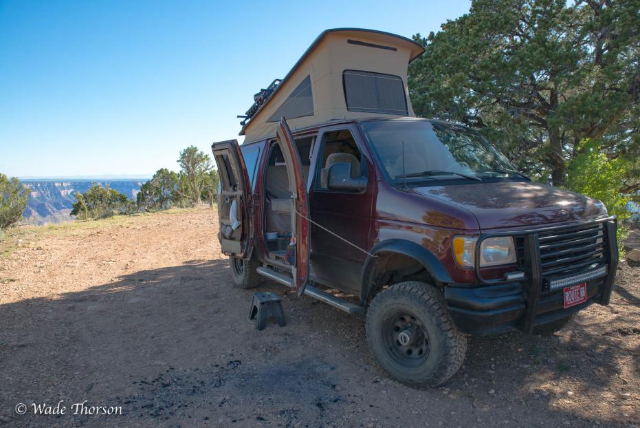
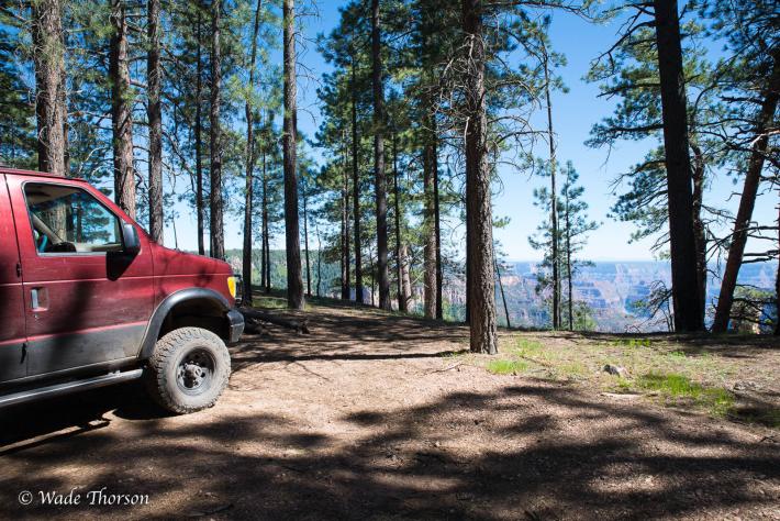
 I thought it might be a good idea to get a campsite at the campground for the evening, but Kristi  disagreed.  She really likes boondocking, and I must say, I couldn't agree more. There is that feeling of peace and quiet that can only be experienced when camping in the wild.  

We still had half a day left after lunch and we decided to try and find Upper Calf Creek Falls.  We had the guide book and took off in search of ...  As I seem to do many times on adventures, I drove right past the small parking lot, and had to flip a U to park there. A dusty lot and a register box are all the amenities here.    The trail starts off down a steep slickrock trail marked sparsely by cairns.  At times the trail was quite easy, other times we seemed to wander a bit.   We finally made our way down to the canyon floor, which was obvious, then had to bushwack our way upstream until we came to the falls.  It was much easier route finding on the way out for some reason.

Upper Calf Creek Falls

The falls was cool, lush and green.  Not much in the way of beach, or hang out places.  We shared the view with another couple for a few minutes, and made an image or two.  The challenge was hiking back up the slickrock.  Although the rubber soles of my shoes had exceptional traction, it was steep, and exposed.   An hour of huffing and puffing, we were back at the parking lot.  It was getting late in the day, and I was getting anxious to find a campsite. Happy hour was calling.  The road was really interesting as we headed toward Hell's Backbone.  On either side of the road there was a sheer drop-off, and we seemed to follow on top of a ridge for miles.  We turned onto the Hell's Backbone road and a few miles later we found a really nice spot overlooking the valley below.  With plenty of juniper for firewood, and a few adult beverages, we were content, and ready to settle in for the evening.